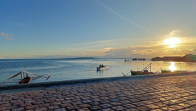
File:View_of_the_Leyte_Gulf_and_Manicani_Island_from_the_Guiuan_Terminal_in_April_2022_(1).jpg · Wikimedia Commons · See Wikimedia Commons
Key facts
- Country
- Philippines
- Region
- Eastern Visayas
- Founded
- June 11, 1965
- Ratified
- November 14, 1967
- Capital and largest city
- Borongan
- Governor
- Ralph Vincent M. Evardone ( PFP )
- Vice governor
- Maria Caridad S. Goteesan ( PFP )
- Legislature
- Eastern Samar Provincial Board
- Total
- 4,660.47 km (1,799.42 sq mi)
- Rank
- 24th out of 82
- Highest elevation mount mactaon
- 673 m (2,208 ft)
- Density
- 101.424/km (262.687/sq mi)
- Component cities
- 1 Borongan
- Municipalities
- 22 Arteche Balangiga Balangkayan Can-avid Dolores General MacArthur Giporlos Guiuan Hernani Jipapad Lawaan Llorente Maslog Maydolong Mercedes Oras Quinapondan Salcedo San Julian San Policarpo Sulat Taft
- Districts
- Legislative districts of Eastern Samar
- Time zone
- UTC+8 ( PHT )
- Idd area code
- +63 (0)55
- Iso 3166 code
- PH-EAS
via Wikipedia infobox
Wikidata facts
- Official name
- Lalawigan ng Eastern Samar
- Population
- 472683
- Area
- 4660.47
- Elevation
- 16
- Official website
- www.easternsamar.gov.ph
- Households
- 115777
- Dialing code
- 55
Show 9 more facts
- postal code
- 6800–6822
- Commons category
- Eastern Samar
- inception
- 1965-06-19
- electorate
- 359570
- poverty incidence
- 29.40
- total assets
- 6473507202.39
- total expenditure
- 1295582467.67
- fiscal/tax revenue
- 2150634284.56
- total liabilities
- 1618537885.25
Sources (15)
via Wikidata · CC0
~9 min read
Article
Eastern Samar (Waray-Waray: Sinirangan Samar; Tagalog: Silangang Samar), officially the Province of Eastern Samar, is a province in the Philippines located in the Eastern Visayas region. Its capital is the city of Borongan, which is the most populous. Eastern Samar occupies the eastern portion of the island of Samar. Bordering the province to the north is the province of Northern Samar and to the west is Samar province. To the east lies the Philippine Sea, part of the vast Pacific Ocean, while to the south lies Leyte Gulf.
History
Gallery (12)
On the map
24 mapped locations
Connections
Philippines
Country
Waray
Entity
Samar Island
Entity
Samar
Entity
Guiuan
Entity
Sulat
Entity
Balangiga
Entity
Can-avid
Entity
Quinapondan
Entity
Jipapad
Entity
Maslog
Entity
Giporlos
Entity
Lawaan
Entity
Maydolong
Entity
Arteche
Entity
Balangkayan
Entity
municipality of the Philippines
Entity
United States
Country
Australia
Country
English language
Concept