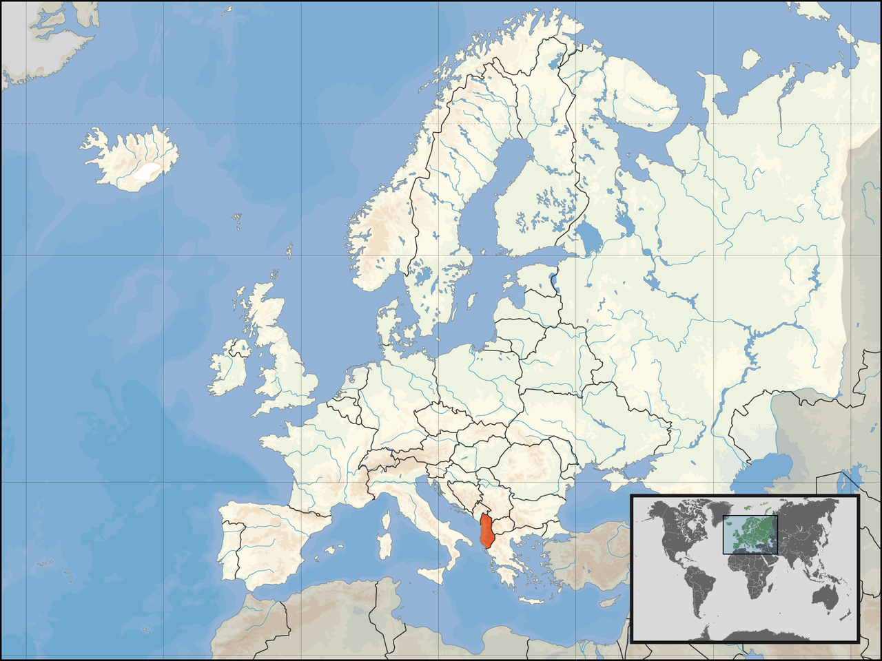
Also known as Albania geography
Overview of the geography of Albania
via Wikipedia infobox
~23 min read
Albania is a country in southeastern Europe that lies along the Adriatic and Ionian Seas, with a coastline spanning approximately 476 km (296 mi). Situated on the Balkan Peninsula, it is one of the most mountainous countries in Europe. It is bounded by Montenegro to the northwest, Kosovo to the northeast, North Macedonia to the east and Greece to the southeast and south.
Most of Albania rises into mountains and hills, tending to run the length of the country from north to south, as for instance the Albanian Alps in the north, the Sharr Mountains in the northeast, the Skanderbeg Mountains in the center, the Korab Mountains in the east, the Pindus Mountains in the southeast, and the Ceraunian Mountains in the southwest. Plains and plateaus extend in the west along the Albanian Adriatic and Ionian Sea Coast.
Atlas of Albania - Wikimedia Commons
commons.wikimedia.org →Note: The introductions of the country, dependency, and region entries are in the native languages and in English. The other introductions are in English. Short name Albania Official name Republic of Albania Status Independent country since 1912 Location South-East Europe Capital Tiranë (Tirana) Population 2,845,955 inhabitants Area 28,748 square kilometres (11,100 sq mi) Major languages Albanian (official) Major religions Islam, Eastern Orthodoxy, Roman Catholicism More information Albania , Geography of Albania , History of Albania and Politics of Albania More images Albania - Albania (Category) . This section holds a short summary of the history of the area of present-day Albania, illustrated with maps, including historical maps of former countries and empires that included present-day Albania. .svg) Illyrian tribes in the Balkans and Italy prior to Roman conquest .svg) Illyrian tribes in the Balkans and Italy prior to Roman conquest .svg) Illyrian tribes in the Balkans and Italy prior to Roman conquest .svg) (svg) Illyrian tribes and cities in the southern Balkans (4th century BC) Roman Empire divided 395, showing the dioceses and praetorian prefectures of Gaul , Italy , Illyricum and Oriens (east), roughly analogous to the four Tetrarch zones of influence after Diocletian 's reforms. The division of the Empire after the death of Theodosius I , ca.395 AD superimposed on modern borders. Western Roman Empire Eastern Roman Empire
Excerpt from a page describing this subject · 40,000 chars · not written by Vinony
via Wikidata · CC0
via Wikidata sitelinks · CC0
Discovered by embedding cosine similarity (sentence-transformers MiniLM, 384-dim).