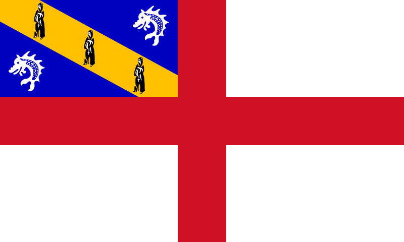
File:Flag_of_Herm.svg · Wikimedia Commons · See Wikimedia Commons
Herm
Sign in to saveAlso known as Haerme
Herm (Guernésiais: , ultimately from Old Norse 'arm', due to the shape of the island, or Old French 'hermit') is one of the Channel Islands and part of the Parish of St Peter Port in the Bailiwick of Guernsey. It is located in the English Channel, north-west of France and south of England. It is long and under wide; oriented north–south, with several stretches of sand along its northern coast. The much larger island of Guernsey lies to the west, Jersey lies to the south-east, and the smaller island of Jethou is just off the south-west coast.
Key facts
- Dependency.name
- Herm
- Dependency.native_name
- (Guernésiais)
- Dependency.settlement_type
- Part of Guernsey, Bailiwick of Guernsey
- Dependency.linking_name
- Herm
- Dependency.image_flag
- Flag of Herm.svg
- Dependency.flag_size
- 125px
- Dependency.flag_link
- Flag of Herm
- Dependency.image_seal
- Blason Ile Herm.svg
- Dependency.seal_size
- 70px
- Dependency.seal_type
- Coat of arms
- Dependency.anthem
- Sarnia Cherie
- Dependency.image_map
- Guernsey-Herm.png
- Dependency.map_alt
- Location of Herm
- Dependency.subdivision_type
- dependent territory of bailiwick
- Dependency.subdivision_name
- Bailiwick of Guernsey
- Dependency.subdivision_type2
- Crown dependency of Sovereign state
- Dependency.subdivision_name2
- United Kingdom
- Dependency.subdivision_type3
- Parish
via Wikipedia infobox
Wikidata facts
- Population
- 60
- Area
- 2
- Elevation
- 66
- Official website
- www.herm.com
- Image
- Herm from the air - geograph.ci - 372.jpg
- Width
- 0.8
- Length
- 2.4
Show 2 more facts
- Commons category
- Herm
- social media followers
- 7344
via Wikidata · CC0
~19 min read
Article
24 sectionsContents
- History
- Prehistory
- Middle Ages
- 19th century to the Second World War
- Operation Huckaback
- Since 1945
- Geography and geology
- Politics
- Tenants
- Economy and services
- Tourism
- Crime and law enforcement
- Health
- Public toilets
- Fire service
- Transport
- Notable landmarks
- Walking around Herm
- Education and culture
- See also
- Notes
- References
- References
- External links
Herm (Guernésiais: , ultimately from Old Norse 'arm', due to the shape of the island, or Old French 'hermit') is one of the Channel Islands and part of the Parish of St Peter Port in the Bailiwick of Guernsey. It is located in the English Channel, north-west of France and south of England. It is long and under wide; oriented north–south, with several stretches of sand along its northern coast. The much larger island of Guernsey lies to the west, Jersey lies to the south-east, and the smaller island of Jethou is just off the south-west coast.
Herm was first discovered in the Mesolithic period, and the first settlers arrived in the Neolithic and Bronze Ages. Many tombs from that period remain today, the majority in the north of the island. The island was annexed to the Duchy of Normandy in 933, but was transferred to the English Crown with the division of Normandy in 1204. It was occupied by Germany in the Second World War and the scene of Operation Huckaback, but was largely bypassed. Herm is currently managed by Herm Island Ltd, formed by Starboard Settlement, who acquired Herm in 2008, following fears during the sale of the island that the 'identity' of the island was at threat.
Gallery (24)
On the map
3 mapped locations