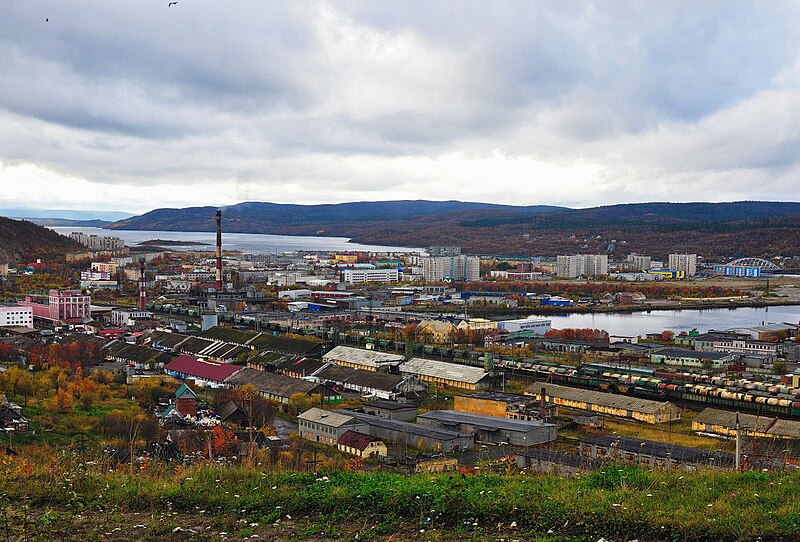
File:Город_Кола_с_возвышенности.jpg · Wikimedia Commons · See Wikimedia Commons
I don't have sufficient context to write an accurate overview. The context only states "Russian town," which doesn't provide enough information about Kola's specific characteristics, history, or significance to write a meaningful 2-sentence overview without inventing facts.
AI-generated from the Wikipedia summary — may contain errors.
Key facts
- Country
- Russia
- Federal subject
- Murmansk Oblast
- Administrative district
- Kolsky District
- Town status since
- August 2, 1965
- Elevation
- 60 m (200 ft)
- Total
- 10,437
- Estimate 2023
- 8,933 ( −14.4% )
- Capital of
- Kolsky District
- Municipal district
- Kolsky Municipal District
- Urban settlement
- Kola Urban Settlement
- Time zone
- UTC+3 ( MSK )
- Dialing code
- +7 81553
via Wikipedia infobox
Wikidata facts
- Country
- Soviet Union
- Population
- 8933
- Area
- 10
- Elevation
- 60
- Time zone
- UTC+03:00
- Official website
- gov-kola.ru
- Image
- Город Кола с возвышенности.jpg
- Dialing code
- 81553
Show 5 more facts
- twinned administrative body
- Inari
- Commons category
- Kola
- inception
- 1517-00-00
- postal code
- 184380
- native label
- Кола
Sources (1)
via Wikidata · CC0
~4 min read
Encyclopedic overview
Kola (Russian: Ко́ла; Northern Sami: Guoládat; Skolt Sami: Kuâlõk) is a town and the administrative center of Kolsky District of Murmansk Oblast, Russia, located at the confluence of the Kola and Tuloma Rivers, 12 kilometers (7.5 mi) south of Murmansk and 24 kilometers (15 mi) southwest of Severomorsk. It is the oldest town of the Kola Peninsula. Population: 10,437 (2010 census); 11,060 (2002 Census); 16,541 (1989 Soviet census).
History
Excerpted from Wikipedia’s “Kola” article, available under the CC BY-SA 4.0 licence.