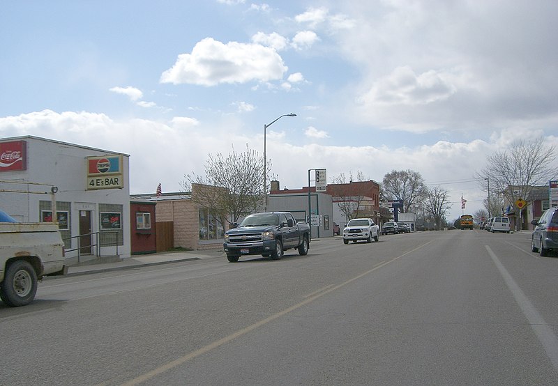
File:MainStreetKunaIdaho.jpg · Wikimedia Commons · See Wikimedia Commons
Key facts
- Country
- United States
- State
- Idaho
- County
- Ada
- Total
- 19.88 sq mi (51.49 km )
- Land
- 19.78 sq mi (51.23 km )
- Water
- 0.10 sq mi (0.26 km )
- Elevation
- 2,802 ft (854 m)
- Density
- 1,214/sq mi (468.7/km )
- Time zone
- UTC−7 ( Mountain )
- Summer dst
- UTC−6 (Mountain)
- Area codes
- 208, 986
- Fips code
- 16-44290
- Website
- kunacity .id .gov
via Wikipedia infobox
Wikidata facts
- Instance of
- city in the United States
- Official name
- Kuna
- Country
- United States
- Located in
- Ada County
- Population
- 24011
- Area
- 47.065911
- Elevation
- 821
- Official website
- www.cityofkuna.com
- Image
- MainStreetKunaIdaho.jpg
- Households
- 6828
- Dialing code
- 208
Show 6 more facts
- Commons category
- Kuna, Idaho
- postal code
- 83634
- P8168
- Shock
- water as percent of area
- 0.5348
- per capita income
- 25715
- native label
- Kuna
Sources (8)
via Wikidata · CC0
~5 min read
Encyclopedic overview
Kuna (/ˈkjuːnə/ KYOO-nə) is a city in Ada County, Idaho. It is part of the Boise metropolitan area. The population was 24,011 at the time of the 2020 census.
Kuna is one of the fastest-growing areas in Idaho, having nearly tripled in population between 2000 and 2010 and a nearly additional 60 percent gain between 2010 and 2020.
Excerpted from Wikipedia’s “Kuna” article, available under the CC BY-SA 4.0 licence.