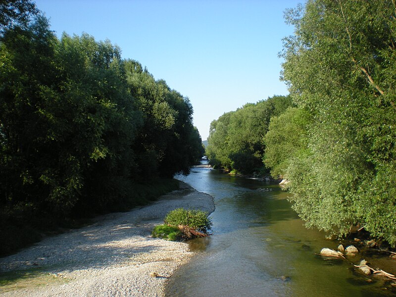
File:Leitha_Kleinwolkersdorf.JPG · Wikimedia Commons · See Wikimedia Commons
Leitha
Sign in to savehistor. Grenzfluss zwischen Österreich und Ungarn, Nebenfluss der Donau
In the Vinony graph
Vinony's link graph records 94 inbound references to Leitha, and connects out to Austria, Hungary and Slovakia.
The entry is geolocated on the map in AT, across 6 mapped points.
Vinony files it under Bruck an der Leitha District, International rivers of Europe and Leitha.
Vinony links it to 46 Wikipedia language editions.
Key facts
- River.name
- Leitha
- River.name_other
- Lajta
- River.image
- Leitha Kleinwolkersdorf.JPG
- River.image_caption
- The Leitha near Kleinwolkersdorf
- River.source1_location
- Lanzenkirchen, southern Vienna Basin
- River.mouth_location
- Danube near Mosonmagyaróvár
- River.subdivision_type1
- Countries
- River.subdivision_name1
- Austria and Hungary
- River.pushpin_map
- Hungary
via Wikipedia infobox
Wikidata facts
- Instance of
- river
- Country
- Hungary
- Located in
- Lower Austria
- Continent
- Europe
- Image
- La Leitha.png
- Length
- 180
Show 5 more facts
- Commons category
- Leitha
- discharge
- 10
- mouth of the watercourse
- Moson-Danube
- Commons gallery
- Leitha
- watershed area
- 2138.1
Sources (2)
via Wikidata · CC0
Article · Deutsch
Die Leitha (Ungarisch Lajta; Alt-Ungarisch Sárviz oder Sár) ist ein 180 Kilometer langer Nebenfluss der Donau in Niederösterreich, dem Burgenland und Ungarn. Sie entsteht durch den Zusammenfluss von Schwarza und Pitten im Gemeindegebiet von Lanzenkirchen. Die Leitha mündet bei Mosonmagyaróvár westlich der Insel Szigetköz (Kleine Schütt) in die Kleine Donau (Mosoni-Duna).
Abstract from DBpedia / Wikipedia · CC BY-SA
Gallery (16)
On the map
6 mapped locations