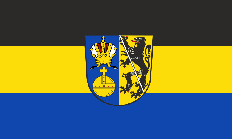
File:Flagge_Landkreis_Lichtenfels.svg · Wikimedia Commons · See Wikimedia Commons
Lichtenfels
Sign in to savedistrict in Bavaria, Germany
Key facts
- Country
- Germany
- State
- Bavaria
- Adm region
- Upper Franconia
- Capital
- Lichtenfels
- District admin
- Christian Meißner ( CSU )
- Total
- 552 km (213 sq mi)
- Density
- 122/km (316/sq mi)
- Time zone
- UTC+01:00 ( CET )
- Summer dst
- UTC+02:00 ( CEST )
- Vehicle registration
- LIF, STE
- Website
- landkreis-lichtenfels.de
via Wikipedia infobox
Wikidata facts
- Official name
- Bezirksamt Lichtenfels
- Country
- Germany
- Located in
- Upper Franconia
- Contains
- Weismain
- Capital
- Lichtenfels
- Population
- 66640
- Area
- 371.46
- Elevation
- 422
- Time zone
- UTC+02:00
- Shares border with
- Kulmbach
- Official website
- www.landkreis-lichtenfels.de
- Households
- 6104
- Licence plate code
- LIF
Show 9 more facts
- Commons category
- Landkreis Lichtenfels
- topic's main category
- Category:Lichtenfels (district)
- category of associated people
- Category:People from Lichtenfels (district)
- male population
- 14135
- female population
- 15324
- number of houses
- 4719
- inception
- 1939-01-01
- topic has template
- Template:Cities and towns in Lichtenfels
- P11012
- Clubiona cada
via Wikidata · CC0
~1 min read
Encyclopedic overview
Lichtenfels is a Landkreis (district) in Bavaria, Germany. It is bounded by (from the north and clockwise) the districts of Coburg, Kronach, Kulmbach, Bayreuth and Bamberg.
History
Excerpted from Wikipedia’s “Lichtenfels” article, available under the CC BY-SA 4.0 licence.