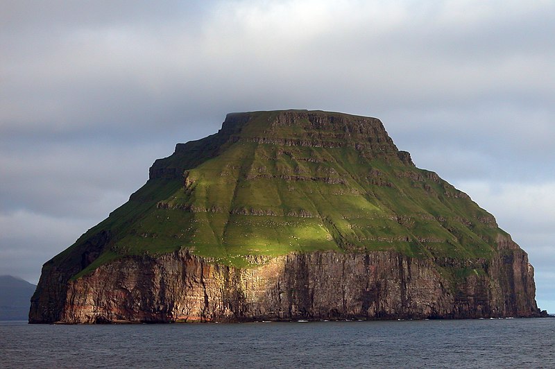
File:Lítla_Dímun,_Faroe_Islands.jpg · Wikimedia Commons · See Wikimedia Commons
Key facts
- State
- Kingdom of Denmark
- Constituent country
- Faroe Islands
- Total
- 0.82 km (0.32 sq mi)
- Highest elevation
- 414 m (1,358 ft)
- Time zone
- UTC+0 ( GMT )
- Summer dst
- UTC+1 ( EST )
via Wikipedia infobox
Wikidata facts
- Instance of
- island
- Part of
- Faroe Islands
- Country
- Faroe Islands
- Located in
- Hvalba
- Population
- 0
- Area
- 0.8
- Time zone
- UTC+01:00
- Body of water
- Atlantic Ocean
- Highest point
- Rávan
- Image
- Lítla Dímun, Faroe Islands.jpg
Show 4 more facts
- Commons category
- Lítla Dímun
- Commons gallery
- Lítla Dímun
- located in/on physical feature
- Faroe Islands
- native label
- Lítla Dímun
Sources (3)
via Wikidata · CC0
~5 min read
Encyclopedic overview
Lítla Dímun is a small, uninhabited island between the islands of Suðuroy and Stóra Dímun in the Faroe Islands. It is the smallest of the main 18 islands, being less than a square kilometre (247 acres) in area, and is the only uninhabited one. The island can be seen from the villages of Hvalba and Sandvík.
Etymology
Excerpted from Wikipedia’s “Lítla Dímun” article, available under the CC BY-SA 4.0 licence.