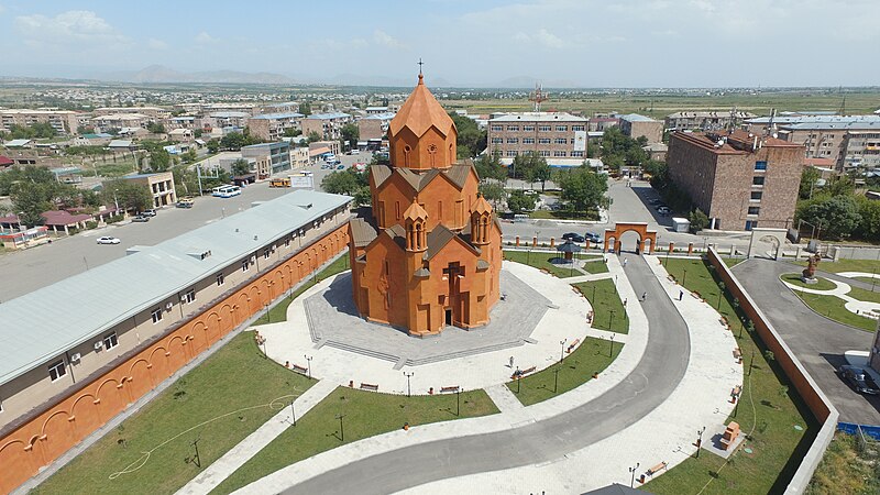
File:Saint_Tadeos9.jpg · Wikimedia Commons · See Wikimedia Commons
Key facts
- Country
- Armenia
- Province
- Ararat
- Municipality
- Masis
- Total
- 5.7 km (2.2 sq mi)
- Elevation
- 854 m (2,802 ft)
- Rank
- Armenia: 15th
- Density
- 3,500/km (9,100/sq mi)
- Time zone
- UTC+4
- Area code
- +374(236)
- Website
- Official website
via Wikipedia infobox
Wikidata facts
- Named after
- Greater Ararat
- Official name
- Զանգիբասար
- Country
- First Republic of Armenia
- Official language
- Armenian
- Population
- 21376
- Area
- 5.7
- Elevation
- 854
- Time zone
- UTC+04:00
- Body of water
- Hrazdan River
- Capital of
- Masis District
- Shares border with
- Nor Kyurin
- Official website
- masiscity.am
- Image
- Masis kaghak.jpg
Show 4 more facts
- Commons category
- Masis
- inception
- 1953-00-00
- postal code
- 0802
- located in/on physical feature
- Ararat Plain
via Wikidata · CC0
~6 min read
Encyclopedic overview
Masis (Armenian: Մասիս) is a town and administrative centre of the Masis Municipality of the Ararat Province of Armenia, located on the left bank of the Hrazdan River, 9 km southwest of Yerevan towards Mount Ararat. The town has a large railroad commodity station that serves Yerevan, and used to connect the capital city with the Nakhichevan Autonomous Soviet Socialist Republic until the closing of the border with Azerbaijan.
Masis is one of the closest settlements to Mount Ararat and Little Ararat. The mountains are visible from most of the areas in the town.
Excerpted from Wikipedia’s “Masis” article, available under the CC BY-SA 4.0 licence.