Official website (https://matraszele.asp.lgov.hu/)
Mátraszele
Sign in to saveAlso known as Matraszele
Mátraszele is a village in Nógrád County, Hungary. The Zagyva river flows through the settlement. As of 2022 census, it has a population of 904 (see Demographics). The village is located 8.5 km from (Nr. 81) Hatvan–Fiľakovo railway line, 12.0 km far from Salgótarján, 10.4 km from the main road 21 and 52.8 km from the M3 motorway. The closest train station with public transport in Bátonyterenye 10.4 km away.
Key facts
- Settlement.name
- Mátraszele
- Settlement.settlement_type
- Village
- Settlement.image_skyline
- Town hall and post office, Mátraszele.jpg
- Settlement.image_caption
- Village hall and post office
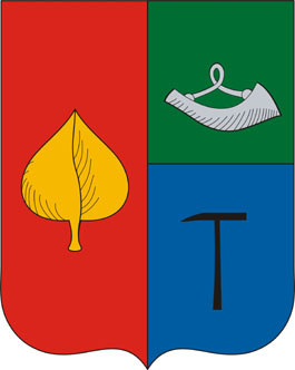
- Settlement.image_shield
- HUN Mátraszele Címer.svg
- Settlement.pushpin_map
- Hungary
- Settlement.pushpin_map_caption
- Location in Hungary
- Settlement.subdivision_type
- Country
- Settlement.subdivision_type1
- County
- Settlement.subdivision_name1
- Nógrád
- Settlement.subdivision_type2
- District
- Settlement.subdivision_name2
- Salgótarján
- Settlement.established_title
- First mentioned
- Settlement.established_date
- 1304
- Settlement.leader_party
- Independent
- Settlement.leader_title
- Mayor
- Settlement.leader_name
- László Kolozsvári
- Settlement.unit_pref
- Metric
via Wikipedia infobox
Official website
Mátraszele
matraszele.asp.lgov.hu →Link to the official site · 6,544 chars · not written by Vinony
Wikidata facts
- Instance of
- municipality of Hungary
- Country
- Hungary
- Located in
- Salgótarján District
- Population
- 871
- Area
- 16.97
- Time zone
- UTC+02:00
- Official website
- matraszele.asp.lgov.hu
- Image
- Town hall and post office, Mátraszele.jpg
- Dialing code
- 32
Show 3 more facts
- P8168
- Face to Face
- postal code
- 3142
- Commons category
- Mátraszele
Sources (1)
via Wikidata · CC0
~2 min read
Encyclopedic overview
4 sectionsContents
- History
- Demographics
- Politics
- References
Mátraszele is a village in Nógrád County, Hungary. The Zagyva river flows through the settlement. As of 2022 census, it has a population of 904 (see Demographics). The village is located 8.5 km from (Nr. 81) Hatvan–Fiľakovo railway line, 12.0 km far from Salgótarján, 10.4 km from the main road 21 and 52.8 km from the M3 motorway. The closest train station with public transport in Bátonyterenye 10.4 km away.
==History== The name of Mátraszele was mentioned for the first time between 1304-1321 in a deed as the property of the Rátót clan under the names Fel-Szele and Al-Szele. It became the property of the in 1449. Pál Jánossy and Lestár Feleki owned it on 1548. The fate of the settlement in the 17th century is unknown. In Mátraszele were 10 families in 1715, and 9 families in 1720. At the beginning of the 19th century, it was owned by Count Pál Lázár and the Oláh family. At the end of the 19th century, several coal mines were opened, which were owned by the North Hungarian United Coal Company. Several mining communities were formed in connection with the mines, of which only Istvánbánya is inhabited nowadays. The church named as Patrona Hungariae.
Excerpted from Wikipedia’s “Mátraszele” article, available under the CC BY-SA 4.0 licence.
On the map
2 mapped locations