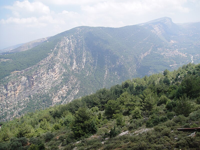
File:Bsharridistrictmountains.jpg · Wikimedia Commons · See Wikimedia Commons
Mount Lebanon is a major mountain range that runs along the western side of Lebanon in the Middle East. It has played an important role in the region's geography, history, and culture for thousands of years.
AI-generated from the Wikipedia summary — may contain errors.
Wikidata facts
- Instance of
- mountain range
- Part of
- Great Rift Valley
- Country
- Lebanon
- Area
- 4840
- Elevation
- 3088
- Highest point
- Qurnat as Sawda'
- Material used
- limestone
- Image
- Satellite image of Lebanon in March 2002.jpg
- Width
- 40
- Length
- 160
Show 3 more facts
- Commons category
- Mount Lebanon
- described by source
- Pauly–Wissowa
- different from
- Mount Lebanon Governorate
Sources (1)
via Wikidata · CC0
~10 min read
Encyclopedic overview
Mount Lebanon (Arabic: جبل لبنان, romanized: Jabal Lubnān; Syriac: ܛܘܪ ܠܒܢܢ, romanized: Tur Lebnon) is a mountain range in Lebanon. It is about 170 km (110 mi) long and averages above 2,500 m (8,200 ft) in elevation, with its peak at 3,088 m (10,131 ft). The range provides a typical alpine climate year-round.
Mount Lebanon is well-known for its snow-covered mountains, home to surviving Lebanese cedar forests and diverse high-altitude flora and fauna. The name Lebanon itself originates from the white, snow-covered tops of this mountain range.
Excerpted from Wikipedia’s “Mount Lebanon” article, available under the CC BY-SA 4.0 licence.