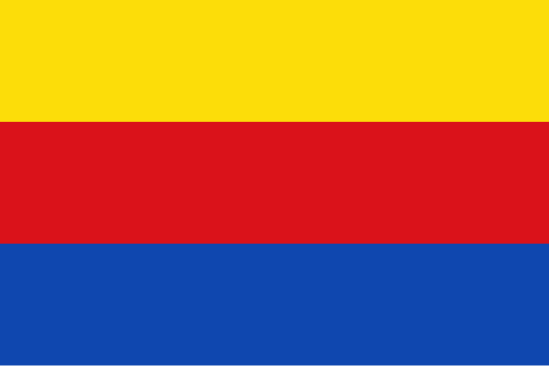
File:Flag_of_North_Holland.svg · Wikimedia Commons · See Wikimedia Commons
North Holland is a province located in the western part of the Netherlands, in the country's northwest region. It is home to major cities like Amsterdam and includes important economic, cultural, and historical areas that contribute significantly to Dutch society and the national economy.
AI-generated from the Wikipedia summary — may contain errors.
Research organization · ROR
- Type
- Government
- Founded
- 1840
- Location
- Haarlem, The Netherlands
- Also known as
- Province of North Holland
- Status
- Active
Wikidata facts
- Instance of
- province of the Netherlands
- Named after
- Holland
- Official name
- Noord-Holland
- Demonym
- Noard-Hollanner
- Country
- Dutch Republic
- Located in
- Netherlands
- Contains
- Schoorl
- Capital
- Haarlem
- Population
- 2724300
- Area
- 4091.76
- Time zone
- UTC+01:00
- Body of water
- Markermeer
- Head of government
- Arthur van Dijk
- Shares border with
- Friesland
- Official website
- www.noord-holland.nl
- Image
- North Holland by Sentinel-2, 2018-06-30.jpg
- Licence plate code
- GX
Show 16 more facts
- social media followers
- 17368
- topic's main category
- Category:North Holland
- Commons category
- North Holland
- described by source
- Encyclopædia Britannica 11th edition
- inception
- 1840-01-01
- category for people born here
- Category:Births in North Holland
- category for people who died here
- Category:Deaths in North Holland
- category of associated people
- Category:People from North Holland
- category for people buried here
- Category:Burials in North Holland
- exact match
- vocabs.cbs.nl/geo/def/provincies/PV27
- native label
- Noord-Holland
- partnership with
- Cultural Heritage Agency of the Netherlands
- phone number
- +31-23-514-3143
- P11012
- Jura
- number of viewers/listeners
- 919971
- contact page URL
- www.noord-holland.nl/Loket/Contact/Contact
Sources (11)
via Wikidata · CC0
~11 min read
Encyclopedic overview
North Holland (Dutch: Noord-Holland, pronounced [ˌnoːrt ˈɦɔlɑnt] ) is a province of the Netherlands in the northwestern part of the country. It is located on the North Sea, north of South Holland and Utrecht, and west of Friesland and Flevoland. As of January 2023, it had a population of about 2,952,000 and a total area of 4,092 km (1,580 sq mi), of which 1,429 km (552 sq mi) is water.
From the 9th to the 16th century, the area was an integral part of the County of Holland. During this period West Friesland was incorporated. In the 17th and 18th centuries, the area was part of the province of Holland and commonly known as the Noorderkwartier (English: "Northern Quarter"). In 1840, the province of Holland was split into the two provinces of North Holland and South Holland. In 1855, the Haarlemmermeer was drained and turned into land.
Excerpted from Wikipedia’s “North Holland” article, available under the CC BY-SA 4.0 licence.
Gallery (12)
On the map
Available in 110 languages
- Español
- Français
- Deutsch
- 中文
- 日本語
- Русский
- Português
- Italiano
- العربية
- Afrikaans
- Albanian
- Aragonese
- Armenian
- Arpitan
- Asturian
- Azerbaijani
- Bahasa Indonesia
- Balinese
Show 91 more
- Bangla
- Basque
- be_x_old
- Belarusian
- Breton
- Bulgarian
- Catalan
- Cebuano
- Croatian
- Czech
- Danish
- Egyptian Arabic
- eml
- Esperanto
- Estonian
- Faroese
- Finnish
- Galician
- Georgian
- Greek
- Hebrew
- Hungarian
- Icelandic
- Ido
- Interlingua
- Irish
- Javanese
- Kurdish
- Latin
- Latvian
- Limburgish
- Lingua Franca Nova
- Lithuanian
- lld
- Low German
- Luxembourgish
- Macedonian
- Malagasy
- Malay
- Manx
- Marathi
- Mazanderani
- Minangkabau
- Mongolian
- nds_nl
- Nederlands
- Northern Frisian
- Norwegian
- Norwegian Nynorsk
- Occitan
- Ossetic
- Papiamento
- Pashto
- Polski
- Quechua
- Romanian
- Saterland Frisian
- Scots
- Scottish Gaelic
- Serbian
- Serbian (Latin)
- Shona
- simple
- Slovak
- Slovenian
- Somali
- Sranan Tongo
- Svenska
- Swahili
- Tajik
- Tamil
- Tiếng Việt
- Türkçe
- Ukrainian
- Urdu
- Venetian
- Volapük
- Walloon
- Waray
- Welsh
- West Flemish
- Western Frisian
- Western Panjabi
- Wu Chinese
- Zaza
- Zeelandic
- zh_min_nan
- zh_yue
- فارسی
- ไทย
- 한국어
via Wikidata sitelinks · CC0