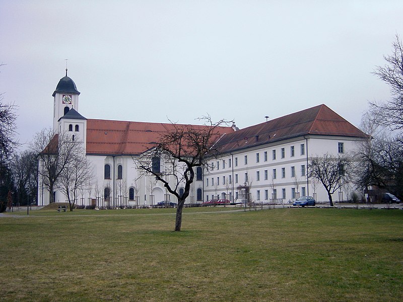
File:Kloster_Rott_am_Inn.jpg · Wikimedia Commons · See Wikimedia Commons
Rott am Inn
Sign in to savemunicipality in the district of Rosenheim in Bavaria in Germany
In the Vinony graph
Vinony's link graph records 58 inbound references to Rott am Inn, and connects out to District of Rosenheim, Germany and Austria.
The entry is geolocated on the map.
It sits within the topics Municipalities in Bavaria, Populated places on the Inn (river) and Rosenheim (district).
Vinony links it to 38 Wikipedia language editions.
Key facts
- Country
- Germany
- State
- Bavaria
- Admin region
- Oberbayern
- District
- Rosenheim
- Municipal assoc
- Rott am Inn
- Mayor 2020 26
- Daniel Wendrock
- Total
- 19.57 km (7.56 sq mi)
- Elevation
- 481 m (1,578 ft)
- Density
- 211.7/km (548.2/sq mi)
- Time zone
- UTC+01:00 ( CET )
- Summer dst
- UTC+02:00 ( CEST )
- Dialling codes
- 08039
- Vehicle registration
- RO
- Website
- www.rottinn.net
via Wikipedia infobox
Wikidata facts
- Country
- Germany
- Located in
- District of Rosenheim
- Population
- 4257
- Area
- 19.57
- Elevation
- 481
- Time zone
- UTC+02:00
- Body of water
- Inn
- Official website
- www.rottinn.net
- Image
- Rott am inn 01.jpg
- Dialing code
- 08039
- Licence plate code
- RO
Show 5 more facts
- Commons category
- Rott am Inn
- postal code
- 83543
- native label
- Rott am Inn
- P8168
- Hans Boner
- hashtag
- RottAmInn
Sources (8)
via Wikidata · CC0
~1 min read
Encyclopedic overview
Rott am Inn ( German pronunciation: [ˈʁɔt ʔam ˈʔɪn], lit. 'Rott on the Inn') is a municipality in the district of Rosenheim in Bavaria in Germany. It lies on the river Inn.
References
Excerpted from Wikipedia’s “Rott am Inn” article, available under the CC BY-SA 4.0 licence.