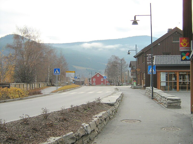
File:Vågåmo.jpg · Wikimedia Commons · See Wikimedia Commons
Key facts
- Country
- Norway
- County
- Innlandet
- District
- Gudbrandsdal
- Established
- 1 Jan 1838
- Created as
- Formannskapsdistrikt
- Administrative centre
- Vågåmo
- Mayor 2019
- Harald Sve Bjørndal ( BL )
- Total
- 1,329.99 km (513.51 sq mi)
- Land
- 1,251.95 km (483.38 sq mi)
- Water
- 78.04 km (30.13 sq mi) 5.9%
- Rank
- # 73 in Norway
- Highest elevation
- 2,367.64 m (7,767.8 ft)
- Density
- 2.7/km (7.0/sq mi)
- Change 10 years
- −4.2%
- Demonym
- Vagvær
- Norwegian form
- Nynorsk
- Time zone
- UTC+01:00 ( CET )
- Summer dst
- UTC+02:00 ( CEST )
via Wikipedia infobox
Wikidata facts
- Instance of
- municipality of Norway
- Demonym
- vagvær
- Country
- Norway
- Located in
- Innlandet
- Capital
- Vågåmo
- Population
- 3553
- Area
- 0.73
- Time zone
- UTC+01:00
- Shares border with
- Lom Municipality
- Official website
- www.vaga.kommune.no
- Image
- Jotunheimen mountains near Memurubu.jpg
- Households
- 40
Show 5 more facts
- Commons category
- Vågå
- topic's main category
- Category:Vågå Municipality
- inception
- 1838-00-00
- language used
- Nynorsk
- native label
- Vågå
Sources (7)
via Wikidata · CC0
~13 min read
Encyclopedic overview
Vågå ( Norwegian pronunciation: [ˈvôːɡoː]) is a municipality in Innlandet county, Norway. It is located in the traditional district of Gudbrandsdal. The administrative centre of the municipality is the village of Vågåmo. Other village areas in the municipality include Bessheim, Besstrond, Lalm, Maurvangen, and Tessand.
The 1,330-square-kilometre (510 sq mi) municipality is the 73rd largest by area out of the 357 municipalities in Norway. Vågå Municipality is the 217th most populous municipality in Norway with a population of 3,529. The municipality's population density is 2.7 inhabitants per square kilometre (7.0/sq mi) and its population has decreased by 4.2% over the previous 10-year period.
Excerpted from Wikipedia’s “Vågå” article, available under the CC BY-SA 4.0 licence.