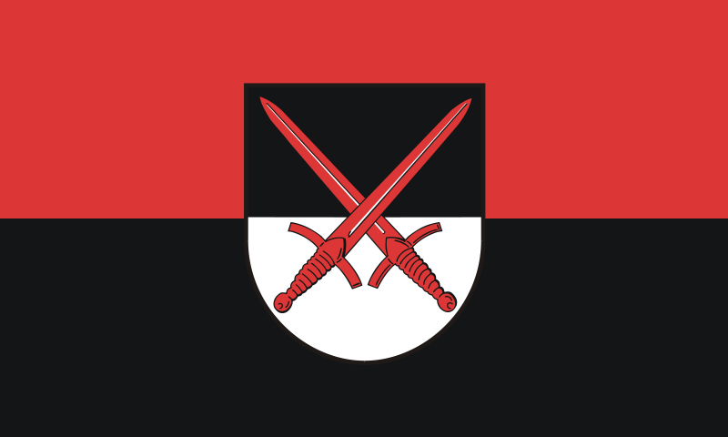
File:Flagge_Landkreis_Wittenberg.svg · Wikimedia Commons · See Wikimedia Commons
Key facts
- Country
- Germany
- State
- Saxony-Anhalt
- Capital
- Wittenberg
- District admin
- Christian Tylsch ( CDU )
- Total
- 1,933.3 km (746.5 sq mi)
- Density
- 62.946/km (163.03/sq mi)
- Time zone
- UTC+01:00 ( CET )
- Summer dst
- UTC+02:00 ( CEST )
- Vehicle registration
- WB, GHC, JE
- Website
- landkreis-wittenberg.de
via Wikipedia infobox
Wikidata facts
- Country
- Germany
- Located in
- Saxony-Anhalt
- Contains
- Zahna-Elster
- Capital
- Lutherstadt Wittenberg
- Population
- 121694
- Area
- 1929.96
- Elevation
- 66
- Time zone
- UTC+02:00
- Shares border with
- Anhalt-Bitterfeld
- Official website
- www.landkreis-wittenberg.de
- Licence plate code
- WB
Show 4 more facts
- topic's main category
- Category:Wittenberg (district)
- Commons category
- Landkreis Wittenberg
- category of associated people
- Category:People from Wittenberg (district)
- P11012
- Genval
via Wikidata · CC0
~2 min read
Encyclopedic overview
Wittenberg is a district (German: Kreis) in the east of Saxony-Anhalt, Germany. Neighboring districts are (from west clockwise) Anhalt-Bitterfeld, the district-free city of Dessau-Roßlau, the districts of Potsdam-Mittelmark, Teltow-Fläming and Elbe-Elster in Brandenburg, and the district of Nordsachsen in Saxony. The capital and largest city is Wittenberg, famous for its association with the influential religious reformer Martin Luther and containing a UNESCO World Heritage Site.
History
Excerpted from Wikipedia’s “Wittenberg” article, available under the CC BY-SA 4.0 licence.