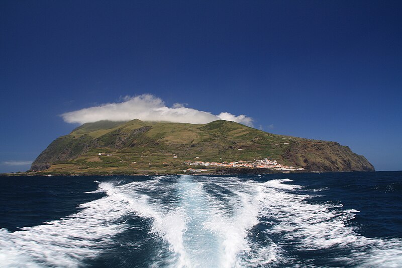
File:Azoren_Corvo.jpg · Wikimedia Commons · See Wikimedia Commons
Key facts
- Location
- Atlantic Ocean
- Area
- 17.12 km (6.61 sq mi)
- Coastline
- 21.49 km (13.353 mi)
- Highest elevation
- 720 m (2360 ft)
- Highest point
- Estreitinho
- Region
- Azores
- Demonym
- Corvino; Corvense
- Population
- 435 (2023)
- Languages
- Portuguese
- Ethnic groups
- Portuguese
- Time zone
- UTC−01:00
via Wikipedia infobox
Wikidata facts
- Instance of
- island
- Official name
- Ilha do Corvo
- Country
- Portugal
- Located in
- Vila do Corvo
- Population
- 384
- Area
- 17.11
- Time zone
- UTC−01:00
- Body of water
- Atlantic Ocean
- Highest point
- Morro dos Homens
- Image
- Flughafen Corvo.jpg
Show 3 more facts
- topic's main category
- Category:Corvo Island
- Commons category
- Corvo (Azores)
- postal code
- 9980
Sources (2)
via Wikidata · CC0
~13 min read
Encyclopedic overview
Corvo Island (Portuguese: Ilha do Corvo, pronounced [ˈiʎɐ ðu ˈkoɾvu], lit. 'Island of the Crow') is the smallest and the northernmost island of the Azores archipelago and the northernmost in Macaronesia. It has a population of 435 inhabitants (as of 2023) making it the smallest single municipality in the Azores and in Portugal. The island lies on the North American Plate.
History
Excerpted from Wikipedia’s “Corvo Island” article, available under the CC BY-SA 4.0 licence.