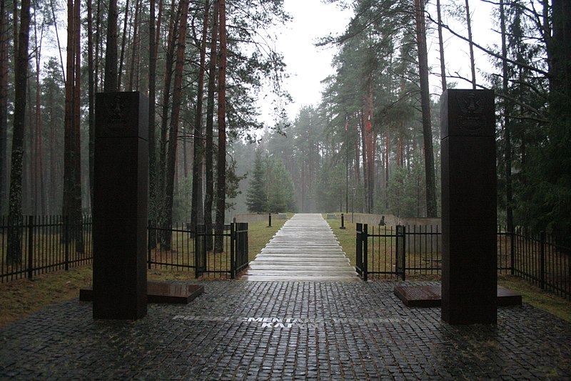
File:Katyń_Forest_November_2013_005.JPG · Wikimedia Commons · See Wikimedia Commons
Katyn
Sign in to saverural locality (selo) in Smolensky District of Smolensk Oblast in central Russia
In the Vinony graph
The entry is geolocated on the map.
Vinony's link graph records 355 inbound references to Katyn, and connects out to Russia, Poland and Belarus.
It is catalogued under topics including Execution sites in Russia, Katyn massacre and Rural localities in Smolensk Oblast.
Vinony links it to 45 Wikipedia language editions.
Weather now
0°clear sky
98% 1.8 m/s OpenWeatherMap
7-day forecast
via Open-Meteo
Place details
- Locality
- Катынь
- Region
- Смоленская область
- Country
- Россия
- Population
- 1,737
- Timezone
- Europe/Moscow
via OpenStreetMap · GeoNames
Key facts
- Country
- Russia
- Federal subject
- Smolensk Oblast
- Elevation
- 167 m (548 ft)
- Estimate 2002
- 1,737 )
- Time zone
- UTC+3 ( MSK )
- Dialing code
- +7 481
via Wikipedia infobox
Wikidata facts
- Instance of
- administrative divisions of Russia
- Country
- Russia
- Located in
- Smolensky District
- Population
- 1737
- Area
- 27.94
- Elevation
- 167
- Time zone
- UTC+03:00
- Image
- Trzy krzyze.jpg
- Dialing code
- 481
- Significant event
- Katyn massacre
Show 5 more facts
- Commons category
- Katyn
- postal code
- 214522
- topic's main category
- Category:Katyn
- different from
- Khatyn
- native label
- Катынь
Sources (7)
via Wikidata · CC0