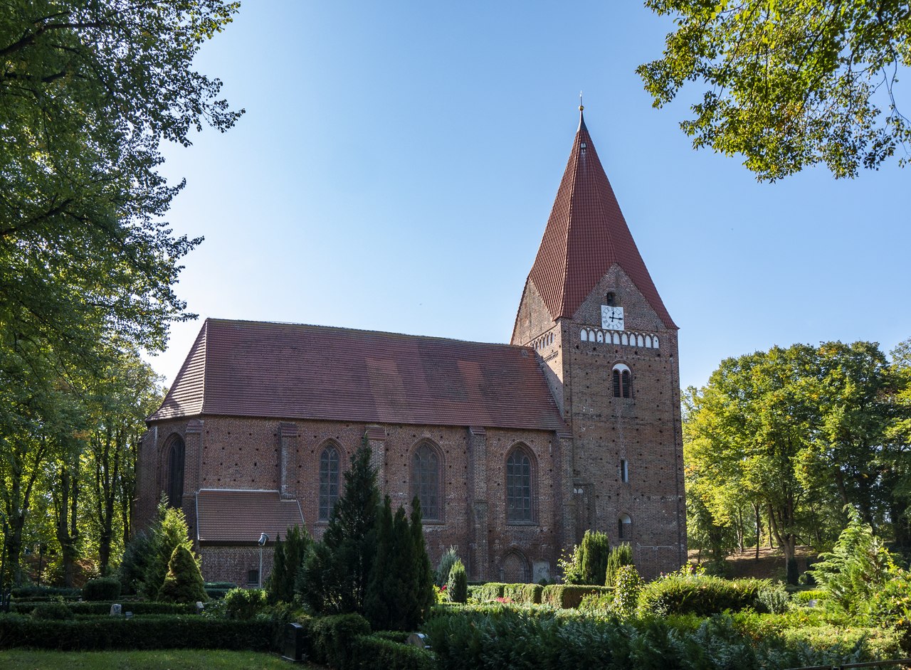
File:20180919_Poel-38.tif · Wikimedia Commons · See Wikimedia Commons
Poel
Sign in to saveAlso known as Poel Island
Poel () or Poel Island (), is an island in the Baltic Sea. It forms the natural northern and eastern boundaries of the Bay of Wismar on the German coast. The northern coast of the island is also on the south side of the large gulf known as the Bay of Mecklenburg, which Wismar Bay enters into. Insel Poel thus forms on its northern side the unofficial latitude of the northern boundary of the Wismar Bay. thumb|Harbour, Kirchdorf thumb|Wismar Bay, Kirchdorf It is close to the cities of Lübeck, Wismar and Schwerin and is part of the Hamburg Metropolitan Region.
Key facts
- German location.name
- Insel Poel
- German location.image_coa
- Poel Wappen1.svg
- German location.image_flag
- Flagge Poel.svg
- German location.image_photo
- 20180919 Poel-38.tif
- German location.image_caption
- Church in Kirchdorf
- German location.image_plan
- Poel_in_NWM 2011.svg
- German location.state
- Mecklenburg-Vorpommern
- German location.district
- Nordwestmecklenburg
- German location.elevation
- 0-26
- German location.area
- 36.02
- German location.postal_code
- 23999
- German location.area_code
- 038425
- German location.licence
- NWM
- German location.Gemeindeschlüssel
- 13 0 74 035
- German location.divisions
- 15 Ortsteile
- German location.website
- www.insel-poel.de
- German location.mayor
- Gabriele Richter
- German location.Bürgermeistertitel
- Bürgermeisterin
via Wikipedia infobox
Wikidata facts
- Official name
- Poel
- Country
- Germany
- Located in
- Nordwestmecklenburg District
- Population
- 2536
- Area
- 36.34
- Elevation
- 8
- Time zone
- UTC+02:00
- Body of water
- Bay of Wismar
- Official website
- www.ostseebad-insel-poel.de
- Image
- 2018 07 Poel IMG 3725.jpg
- Dialing code
- 038425
- Licence plate code
- NWM
Show 8 more facts
- postal code
- 23999
- described by source
- Nordisk familjebok
- Commons category
- Poel
- twinned administrative body
- Hammarö Municipality
- P8168
- Manuela Kay
- native label
- Poel
- different from
- Poel
- hashtag
- Poel
Sources (12)
via Wikidata · CC0
~6 min read
Encyclopedic overview
3 sectionsContents
- History
- References
- External links
Poel () or Poel Island (), is an island in the Baltic Sea. It forms the natural northern and eastern boundaries of the Bay of Wismar on the German coast. The northern coast of the island is also on the south side of the large gulf known as the Bay of Mecklenburg, which Wismar Bay enters into. Insel Poel thus forms on its northern side the unofficial latitude of the northern boundary of the Wismar Bay. thumb|Harbour, Kirchdorf thumb|Wismar Bay, Kirchdorf It is close to the cities of Lübeck, Wismar and Schwerin and is part of the Hamburg Metropolitan Region.
Administratively it is a municipality in the Nordwestmecklenburg district. It consists of Kirchdorf and Oertzenhof (the main towns) and the smaller villages of Timmendorf, Wangern, Hinterwangern, Weitendorf, Weitendorf-Hof, Brandenhusen, Neuhof, Seedorf, Niendorf, Schwarzer Busch, Kaltenhof, Fährdorf, Malchow, Vorwerk and Gollwitz. It covers an area of and has 2,873 citizens. Satellite pictures show that most of it is used as farmland. With its good air, clean water, fine beaches and sheltered harbours, it is also popular recreational area. At Timmendorf harbour there are a pilot's station and facilities for yachts and local fishermen. Kirchdorf has a yachting harbour and a boatyard. Wismar Bay is cited by the Encyclopædia Britannica Eleventh Edition (1910-1911) as the finest harbor on the Baltic.
Excerpted from Wikipedia’s “Poel” article, available under the CC BY-SA 4.0 licence.
Gallery (16)
On the map
3 mapped locations