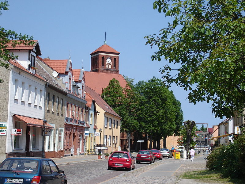
File:Storkow_Kirche.jpg · Wikimedia Commons · See Wikimedia Commons
Storkow (Mark)
Sign in to savetown in Brandenburg state, Germany
In the Vinony graph
Vinony's link graph records 80 inbound references to Storkow (Mark), and connects out to Oder-Spree District, Germany and Poland.
The entry is geolocated on the map.
It is catalogued under topics including Localities in Oder-Spree and Towns in Brandenburg.
Vinony links it to 36 Wikipedia language editions.
Key facts
- Country
- Germany
- State
- Brandenburg
- District
- Oder-Spree
- Subdivisions
- 13 Ortsteile
- Mayor 2019 27
- Cornelia Schulze-Ludwig ( SPD )
- Total
- 180.72 km (69.78 sq mi)
- Elevation
- 37 m (121 ft)
- Density
- 50.89/km (131.8/sq mi)
- Time zone
- UTC+01:00 ( CET )
- Summer dst
- UTC+02:00 ( CEST )
- Dialling codes
- 033678
- Vehicle registration
- LOS
- Website
- storkow.de
via Wikipedia infobox
Wikidata facts
- Country
- Germany
- Located in
- Oder-Spree District
- Population
- 9491
- Area
- 180.72
- Elevation
- 37
- Time zone
- UTC+02:00
- Official website
- www.storkow.de
- Image
- 20-04-23-Fotoflug-Ostbrandenburg-RalfR- DSF6677.jpg
- Dialing code
- 033678
- Licence plate code
- LOS
Show 5 more facts
- postal code
- 15859
- Commons category
- Storkow (Mark)
- P8168
- Roland Bock
- twinned administrative body
- Staicele
- street address
- Rudolf-Breitscheid-Straße 74, 15859 Storkow (Mark)
Sources (6)
via Wikidata · CC0
~5 min read
Encyclopedic overview
Storkow (Mark) ( German pronunciation: [ˈʃtɔʁkoː] ) is a town in Oder-Spree district, in Brandenburg, Germany. The town was the part of Brandenberg Province of Prussia, from 1815 - 1947, then it was the part of the State of Brandenburg from 1947 to 1952, Bezirk Frankfurt of East Germany from 1952 to 1990 and it again became a part of the State of Brandenburg since 1990.
Geography
Excerpted from Wikipedia’s “Storkow (Mark)” article, available under the CC BY-SA 4.0 licence.