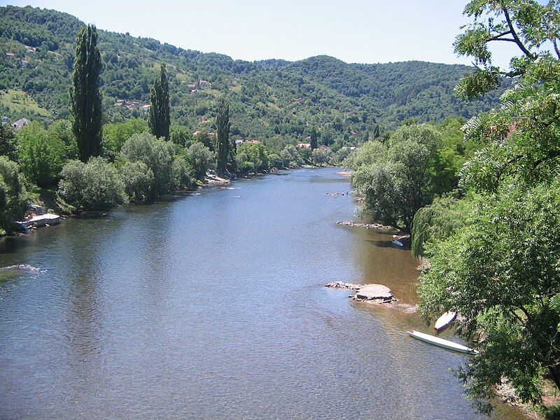
File:Врбас_са_Зеленог_моста.jpg · Wikimedia Commons · See Wikimedia Commons
Key facts
- Country
- Bosnia and Herzegovina
- Location
- Vranica
- Length
- 249.7 km (155.2 mi)
- Basin size
- 6,274 km (2,422 sq mi)
- Progression
- Sava → Danube → Black Sea
via Wikipedia infobox
Wikidata facts
- Instance of
- river
- Country
- Bosnia and Herzegovina
- Located in
- Bugojno Municipality
- Continent
- Europe
- Image
- Vrbas river.jpg
- Length
- 240
Show 5 more facts
Sources (1)
via Wikidata · CC0
~5 min read
Encyclopedic overview
The Vrbas (Serbian Cyrillic: Врбас, pronounced [ʋr̩̂ba(ː)s]) is a major river with a length of 250 kilometres (160 mi), in western Bosnia and Herzegovina. It is a right tributary of the Sava river. The city of Banja Luka is located on the river banks.
The river is the main watercourse of Banja Luka and its surrounding region. With its blue-green color, it is one of the most beautiful rivers in Bosnia and Herzegovina.
Excerpted from Wikipedia’s “Vrbas” article, available under the CC BY-SA 4.0 licence.