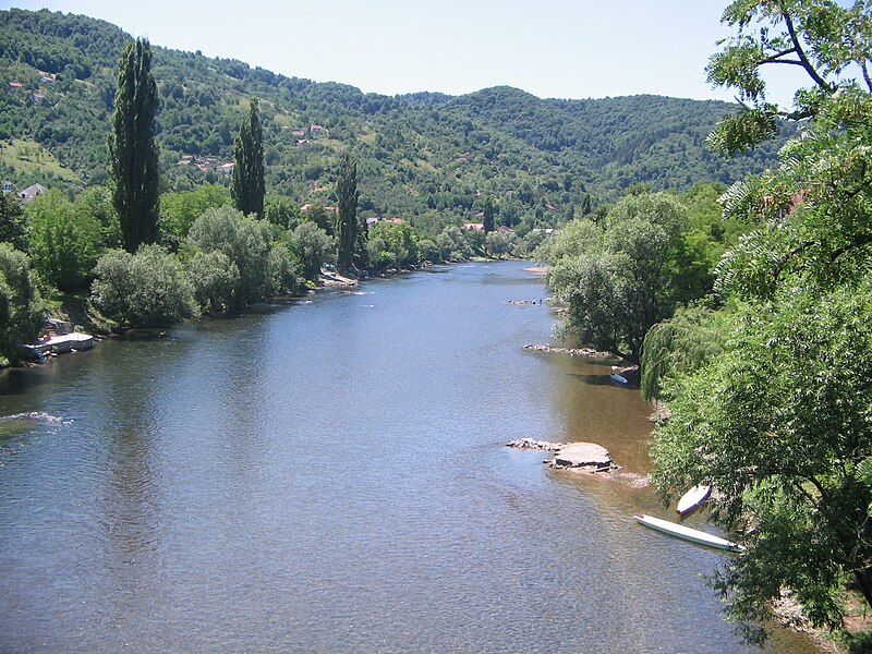
File:Врбас_са_Зеленог_моста.jpg · Wikimedia Commons · See Wikimedia Commons
Key facts
- Country
- Bosnia and Herzegovina
- Location
- Vranica
- Length
- 249.7 km (155.2 mi)
- Basin size
- 6,274 km (2,422 sq mi)
- Progression
- Sava → Danube → Black Sea
via Wikipedia infobox
Wikidata facts
- Instance of
- river
- Country
- Bosnia and Herzegovina
- Located in
- Bugojno Municipality
- Continent
- Europe
- Image
- Vrbas river.jpg
- Length
- 240
Show 5 more facts
Sources (1)
via Wikidata · CC0
Article · Français
Le Vrbas (Врбас) est une rivière qui coule à l'ouest de la Bosnie-Herzégovine. Elle a une longueur de 192 km. Elle est un affluent droit de la Save. Elle traverse notamment la ville de Banja Luka, dans la République serbe de Bosnie. Le Vrbas appartient au bassin versant de la mer Noire. Son propre bassin couvre une superficie de 5 023 km2. La rivière n'est pas navigable.
Abstract from DBpedia / Wikipedia · CC BY-SA