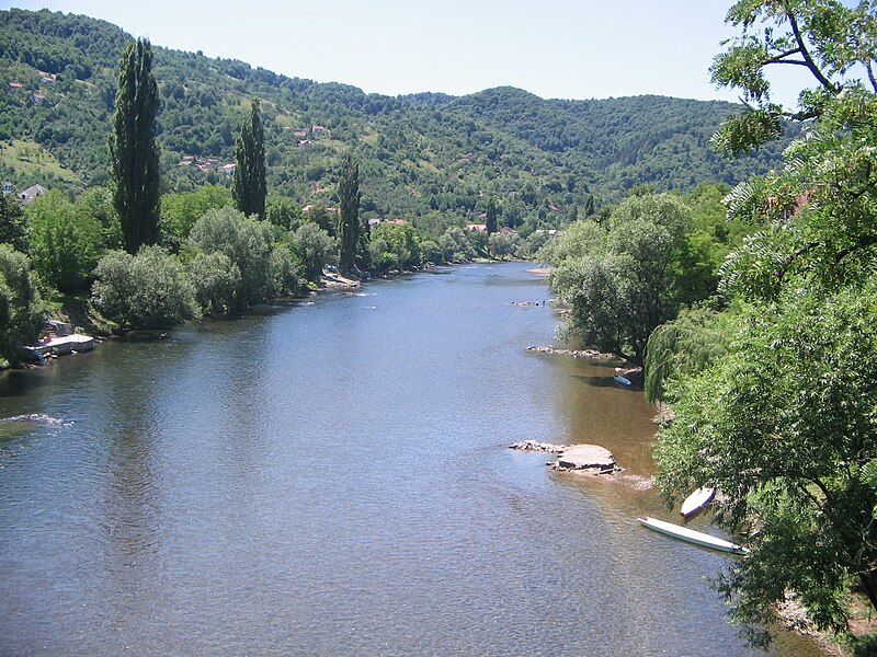
File:Врбас_са_Зеленог_моста.jpg · Wikimedia Commons · See Wikimedia Commons
Key facts
- Country
- Bosnia and Herzegovina
- Location
- Vranica
- Length
- 249.7 km (155.2 mi)
- Basin size
- 6,274 km (2,422 sq mi)
- Progression
- Sava → Danube → Black Sea
via Wikipedia infobox
Wikidata facts
- Instance of
- river
- Country
- Bosnia and Herzegovina
- Located in
- Bugojno Municipality
- Continent
- Europe
- Image
- Vrbas river.jpg
- Length
- 240
Show 5 more facts
Sources (1)
via Wikidata · CC0
Article · Nederlands
De Vrbas is een 235 km lange zijrivier van de Sava die door Bosnië en Herzegovina stroomt. Vrbas betekent in het Bosnisch wilg vanwege de vele treurwilgen aan de oevers van de rivier in Banja Luka. Het leende zijn naam aan het Vrbasbanaat, een van de provincies (banovinas) van het Koninkrijk Joegoslavië. De Vrbas vindt zijn oorsprong in het Vranicagebergte, in de gemeente Gornji Vakuf-Uskoplje. Na Uskoplje doorkruist de rivier Bugojno, Donji Vakuf en Jajce, waar de in de Vrbas uitmondt. Tussen Jajce en Banja Luka ligt de waterkrachtcentrale Bočac (Hidroelektrana Bočac). De centrale is sinds 1982 in bedrijf en heeft een capaciteit van 110 MW. In de buurt van Srbac mondt de Vrbas uit in de Sava.
Abstract from DBpedia / Wikipedia · CC BY-SA