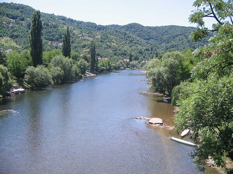
File:Врбас_са_Зеленог_моста.jpg · Wikimedia Commons · See Wikimedia Commons
In the Vinony graph
Vinony's link graph records 204 inbound references to Vrbas, and connects out to list of lakes in Bosnia and Herzegovina, Sava and Una.
The entry is geolocated on the map.
It is catalogued under topics including Hucho habitats in Bosnia and Herzegovina, Rafting in Bosnia and Herzegovina and Recreational fishing in Bosnia and Herzegovina.
Vinony links it to 47 Wikipedia language editions.
Key facts
- Country
- Bosnia and Herzegovina
- Location
- Vranica
- Length
- 249.7 km (155.2 mi)
- Basin size
- 6,274 km (2,422 sq mi)
- Progression
- Sava → Danube → Black Sea
via Wikipedia infobox
Wikidata facts
- Instance of
- river
- Country
- Bosnia and Herzegovina
- Located in
- Bugojno Municipality
- Continent
- Europe
- Image
- Vrbas river.jpg
- Length
- 240
Show 5 more facts
Sources (1)
via Wikidata · CC0
Gallery (4)
On the map
Connections
list of lakes in Bosnia and Herzegovina
Entity
Sava
Entity
Una
Entity
Gornji Vakuf-Uskoplje
Entity
Pliva
Entity
Vrbanja
Entity
Bosnia and Herzegovina
Country
river
Entity
fish
Entity
Black Sea
Entity
Danube
Entity
geographic coordinate system
Entity
Salix
Entity
Serbo-Croatian
Entity
Banja Luka
Entity
tributary
Entity
Kingdom of Yugoslavia
Entity
river mouth
Entity
endemism
Entity
Drina
Entity